top of page
GIS Mapping


Map Stakeholder Concerns, Not Only in the Log
A concern that lives only in a list is easy to lose. Plot interests, concerns, and commitments on the same map as the people and the project.
Sep 143 min read


5 Best Practices for Effective Stakeholder Engagement in Renewable Energy Projects
Discover 5 proven best practices for effective stakeholder engagement in renewable energy projects. From early outreach and transparent communication to geographic concern mapping and commitment tracking, learn how leading developers build trust and accelerate project success. See how integrated SRM tools like DIMEC make these practices easier through powerful mapping, action tracking, and real-time dashboards.
Jun 302 min read


Unlocking Land Engagement Software: How DIMEC Combines SRM and ArcGIS
Land engagement is more than spreadsheets — it’s about understanding parcels, stakeholders, and concerns in context. DIMEC is the first platform to unite a full SRM with ArcGIS mapping, giving project teams a clear, map-based view of every parcel and every conversation. From parcel imports to concerns tracking and submission-ready reports, DIMEC turns complex land data into actionable insights.
Sep 22, 20252 min read

Community Relations with DIMEC Notables
Explore how DIMEC's notables feature tracks Tribal interests in the U.S. with dashboards, themes, and GIS maps. Link to interactions, enhance environmental reporting, and mitigate concerns. Visit https://www.dimecinc.com.
Aug 26, 20252 min read
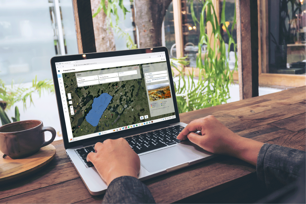
How Built-in GIS Helps Manage Tribal Consultation
Explore how DIMEC's stakeholder relationship management software, powered by built-in ArcGIS, enhances tribal consultation across the U.S. Overlay tribal territories and project areas, import shapefiles, and plot concerns on interactive maps. Boost communication, ensure compliance, and build trust with tailored GIS tools for American projects.
Aug 12, 20253 min read
bottom of page